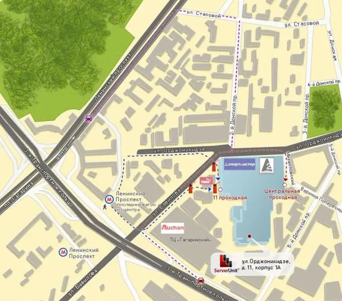
Driving directions and maps are often required by businesses and companies interested in ensuring that customers and buyers can easily find a company's office or store, moving from the nearest, well-known landmark. Such maps are especially relevant for large cities, where even residents of nearby houses will not be able to tell how best to get or walk to the specified address. You can order such a scheme, but you can do it yourself.

Instructions
Step 1
You can order such a scheme in any design bureau or on a freelance exchange, where you can easily choose from several willing ones whose examples of such works you will like more. But if you do not need special design delights and a fairly simple but information-intensive scheme, you can make it yourself.
Step 2
Those who make sites often need such a scheme, which shows the opportunity for anyone to get to the point marked on the city map. With the help of the well-known map service Google Maps, which is open to everyone, this can be done simply and conveniently. The entire procedure is described in detail in step-by-step mode. After following the instructions, you will be able to embed a similar scheme into your site.
Step 3
Several other mapping services provide the same capabilities. To get a location map, you just need to select the required fragment of the map on a scale and press the button "Get a link to a fragment" site.
Step 4
If you are not engaged in web programming, then the directions can be made using city maps that are available on the largest cartographic services - Yandex. Maps, for example. Go to it, find your city on the map of the country using scaling, select the fragment of the address map you need, copy the screen using the "PrtScr" key into any graphic editor. Edit the resulting image - fragment it and draw colored straight lines indicating the path to the object. You can insert any conventional images and signs to help you navigate the terrain. Place explanatory labels on the image and your diagram is ready.


