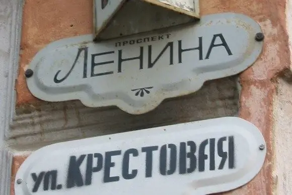
"Where is this street, where is this house? …" Sometimes you want to add "What is this area of the city?" Indeed, it depends on which district this or that street belongs to, which state institution or municipality of which particular district to apply for this or that certificate or information. Yes, and sometimes you just need to know where the bus ride, with the route number of which you made a mistake, took you to.

It is necessary
- - city map,
- - computer / mobile phone with internet connection.
Instructions
Step 1
Refer to the old and tried-and-true methods: look at the address you need on a paper map of your city. A map, of course, needs one on which the boundaries of the city's districts are clearly defined.
Step 2
Use the possibilities of the Internet, since many well-known and widely advertised sites and portals (such as DublGIS and the like), both in central and local media, provide quite comprehensive information on this issue. All you need is a computer with an Internet connection, and a few minutes of free time.
Step 3
Do not get lost if the need to find out on the street the area of your location has arisen outside your home. Ask for help from passers-by, a conductor in public transport, police officers.
Step 4
Enter any public building, premises (if the street is deserted) and ask to tell you the area of the city where you are now, to the hostel guard, the security guard at the entrance to the educational or government institution, the shop assistant.
Step 5
Connect the logic, and then you will immediately understand that the streets often bear the name of those enterprises that are district-forming (for example, Truboprokatnaya Street is located in the area of the city in which the Pipe Rolling Plant is located, and Metallurgov Highway - in the area with the Metallurgical Plant). At the same time, knowing the name of the districts of your city, you can draw appropriate conclusions about the belonging of these streets to the corresponding districts. Well, if you are on a street or avenue named after Lenin, then for sure this is the Central District (so in Soviet times it was customary to call the largest street in the city center).
Step 6
Call the city help desk and ask for help in this matter. If they refuse, citing the fact that they only provide phone numbers of organizations, then ask for the phone number of the dispatcher on duty of the district administration or any of the districts whose name will pop up in your memory. Call the dispatcher, so he will not refuse to help you.


